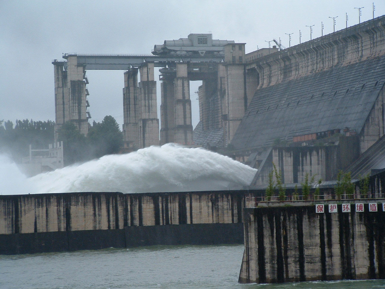
The Danjiangkou reservoir
Image: en.syiptv.com
The massive South-North Water Transfer Project 南水北调工程 transports water from the Yangtze River system northwards via three main routes, two of which are in the east, serving the capital region. The ‘central’ route, the more westerly of the two eastern routes, moves water from the Danjiangkou reservoir in Hubei province along a 1,432-km-long canal to Beijing’s Miyun reservoir. Miyun is the main supplier for Beijing’s Water Works No. 9, the largest treatment plant for drinking water in China. The ‘eastern’ route diverts water from the Yangtze River at Jiangdu, in Jiangsu province, north along the route of the historical Grand Canal and through tunnels under the Yellow River. It forks near Jinan, capital of Shandong province, to supply the eastern Shandong peninsula as well. The planned ‘western’ route would move water from the headwaters of the Yangtze across the high-altitude watershed divide to the headwaters of the Yellow River.

The regions interlocked watersheds
Image: edudisk.net
First conceived in the 1950s, the South-North Water Transfer finally received the go-ahead from the central government in 2001, which was planning for the 2008 Beijing Olympics in the midst of a water crisis. Work didn’t begin on it until the 2010s, however, and ‘southern water’ only arrived in the capital in December 2014. But in 2015, researchers discovered that levels of lead in the Danjiangkou reservoir from 2007 to 2010 were twenty times the maximum level considered safe by international standards. The study questioned but did not provide information on current levels.

Lead levels in Danjiangkou reservoir, 2007–2010
Source: WHO, EPA, MWR, Journal of Environmental Informatics